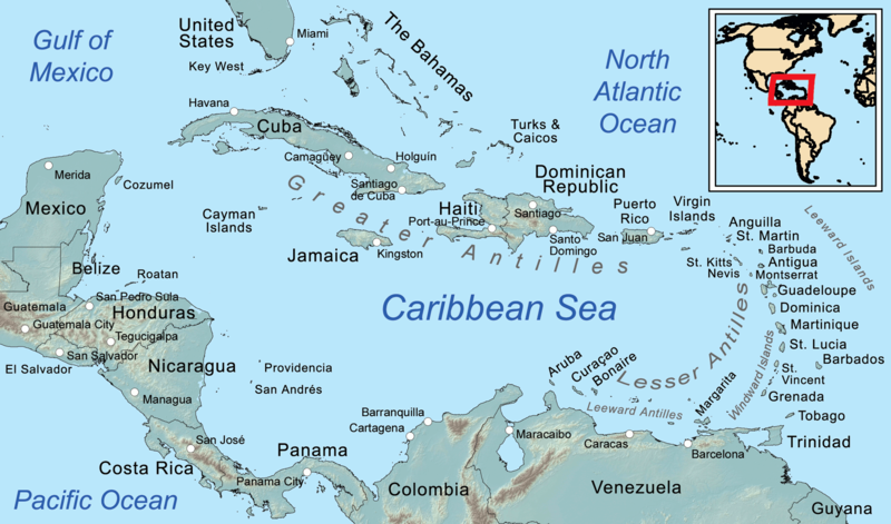
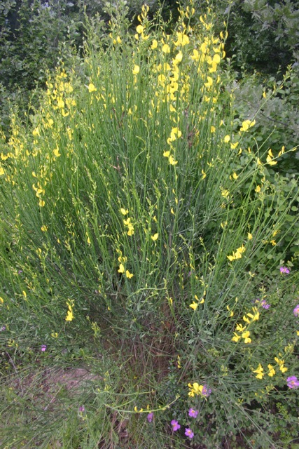
Russian oil tanker
As I watch the Russian oil tankers going through the Dardanelles, I’m reminded that Turkey has little oil, but does have large coal reserves. Looking away from the straits, I see the hills towards Soma, just 100 miles away, where over 300 coal miners died in a disaster that should never have happened.

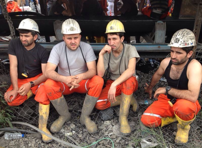
Miners at Soma coal mine
Despite the callous response from the mine owners and the government, most people I see want to say “Soma ,adencisi yalnız değil” (Soma miners are not alone). On campus, students sell pastries to raise funds for the victims’ families. In town, people march and spray graffiti to protest the government’s policies before, and the response afterwards. In the countryside, I see people whom I can imagine as not so different from the villagers whose family members worked in the mine.
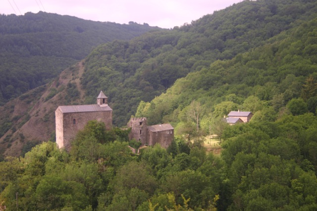
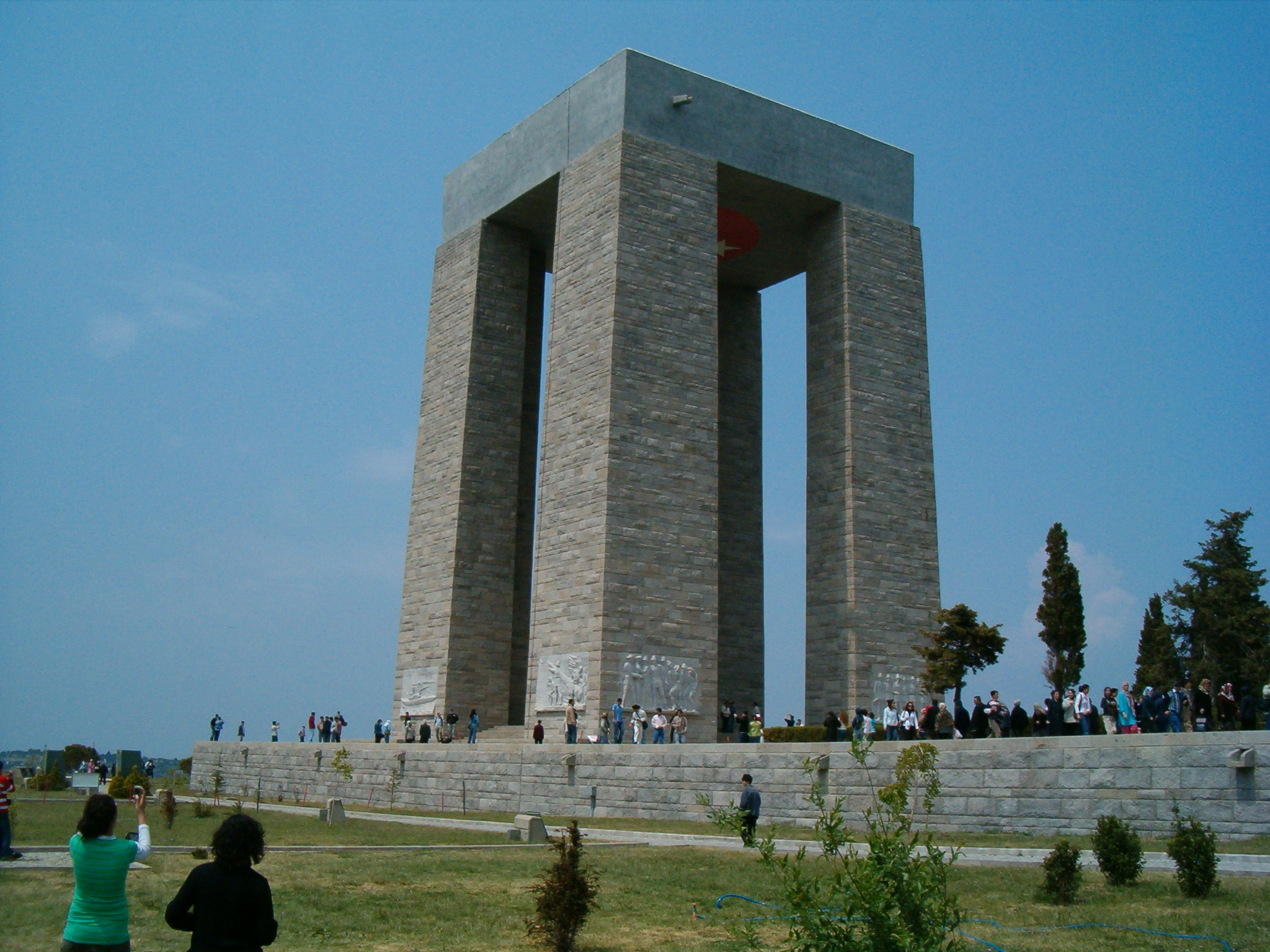
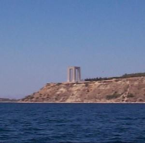
Trying not to think about Soma, I walk to the Dardanos Tümülüsü (tumulus). This is a burial hill not far from our apartment, with artifacts dating from the second century BC, possibly earlier. The Çingene (also called Gypsy) people in Çanakkale say that they have been there for six centuries, possibly before the Ottoman rulers. But long before they arrived, who were the people who built the tumulus? I wonder about their walking on the same hills and coastlines, which they did when there was no choice to take the bus or car.

Dardanos Tümülüsü
My wanderings lead to wonderings about how we as humans, or any life, will survive the growth-at-all-costs ethos, dominant around the world. Fifty years ago, in the month I graduated from high school, Lyndon Johnson asked:
whether we build a society where progress is the servant of our needs, or a society where old values and new visions are buried under unbridled growth…expansion is eroding the precious and time-honored values of community with neighbors and communion with nature.
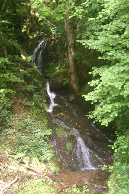
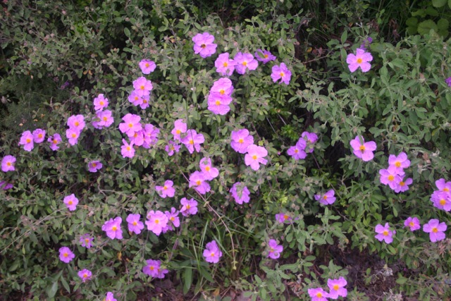
At least, here at Dardanos, there is some respite, if only within an hour’s walk. I see children in the large playground. There’s a vineyard. In the scrub forest there is a maquis ecology, with small pines, fir, cedar, holly, cyprus, and other evergreen trees, as well as some nut and fruit trees, such as valonia oaks, almond, fig, apple, and olive. The underbrush includes flowering broom, sage, oleander, and many interesting grasses. Most striking are the wildflowers–poppy, petunia, aster, and rose, plus many I can’t name. There are butterflies everywhere, birds, frogs, and lizards, all mocking the many wild cats. The ocean seems full of life, with octopus and squid, many kinds of fish and seaweeds, in spite of the heavy ship traffic.

Poppy field
Alongside the Dardanos, these life forms seem in tune with the beautiful setting and oblivious to the massive commerce steaming past and the construction boom on land. Let’s hope they can continue for a long time.
I’m afraid that my generation hasn’t done much to manifest Johnson’s call for “the wisdom to use…wealth to enrich and elevate our national life, and to advance the quality of our American civilization.” We have more nuclear weapons, greater destruction of the environment, abuse of workers, and precious little understanding of neighbors at home or abroad. All too often, our “old values and new visions are buried under unbridled growth.”

Petunias
In that 1964 speech, Johnson said,
The Great Society is a place where every child can find knowledge to enrich his mind and to enlarge his talents. It is a place where leisure is a welcome chance to build and reflect, not a feared cause of boredom and restlessness. It is a place where the city of man serves not only the needs of the body and the demands of commerce but the desire for beauty and the hunger for community.
I can’t say that I’ve learned very much in the fifty years since Johnson’s speech, but one thing is that the leisure he spoke about is not lost time, but a central aspect of being. Walking becomes for me a way to ensure that it happens. Otherwise I too often feel compelled to check the computer, go to a meeting, or accomplish some task. Or, I seek escape as a spectator, rather than participant in life.
That leisure is a necessary means to build connections and become one with the plants and animals nearby, the people, the land and sea, and the history that ties them all together. It’s both an essential part of life and means to understanding it better.