Theodosian Walls at the Selymbria Gate, showing outer walls, inner walls, & moat wall
Last Monday I walked along the Walls of Constantinople, then returned along the Sea of Marmara. It was a beautiful day, with great views in every direction.
The stone walls were built in 324–336 to protect the city of Constantinople (née Byzantium) after its founding as the new capital of the Roman Empire by Constantine the Great. It was the last and one of the most complex fortification systems built in antiquity. Gunpowder began their demise, but it was the large number of Ottoman invaders that caused the city to fall to a siege on May 29, 1453.

Mihrimah Sultan Camii
Nevertheless, the walls had protected the city for over 1100 years, making them the most successful ever built. Even after the fall of Constantinople, Ottomans under Sultan Mehmed II added to the fortifications by building the Yedikule Hisari (Seven Towers Fortress) at the Golden Gate.
The walls have suffered from wars, earthquakes, and urban development, but still stand as an impressive monument and a marker of inner and outer İstanbul. Restoration began in the 1980s.
It’s not possible to walk on top of the walls the entire 4.5 km length. There are heavily damaged sections and major roads now pass through most of the original gates. Several times I climbed up steep stone stairs overgrown with weeds and broken in many places. I’d walk a while, then find that I needed to retrace my steps. At other times, I had to walk away from the wall to circle through some neighborhood before returning to it. As a consequence, I had to walk at least twice the length of the wall itself.

Ottoman Empire, 1683
The route is part of the Sultan’s Trail, a project to build a long-distance path from Vienna to İstanbul. That project appears stalled, but you can still see blazes for it. You can also see many aspects of İstanbul: beautiful vistas and trash piles, new and ancient constructions, carefully planned development and urban sprawl. In Turkish, I’d say güzel ve çirkin, yeni ve eski, iyi ve kötü.
There are many interesting sights along the wall. My favorite is the Mihrimah Sultan Camii (mosque) at Edirnekapı (the Edirne Gate). It was designed by Mimar Sinan (“Sinan the Architect”) for the favorite daughter of Suleiman the Magnificent, Princess Mihrimah. It’s filled with light due to the extraordinary number of windows, a speciality of Sinan’s. Although it’s a large cami, it has only one minaret, symbolizing the loneliness of Mihrimah and Sinan due to their forbidden love. Edirnekapı itself is where Sultan Mehmed II entered the city after its defeat in 1453.
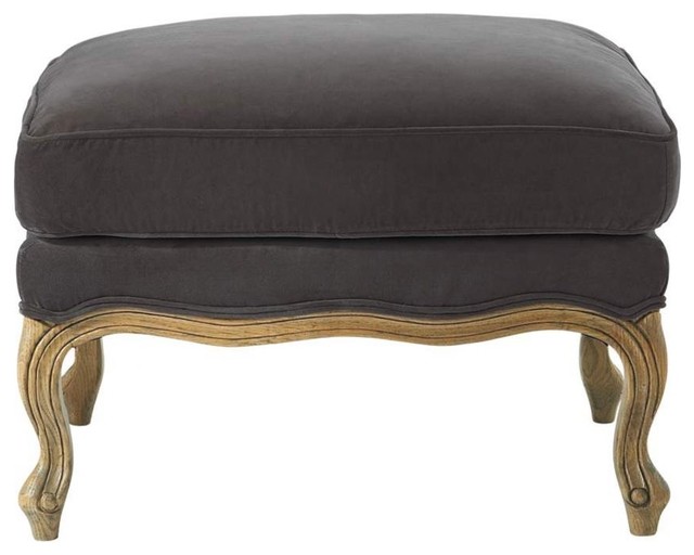
Ottoman furniture today
As I walked, I imagined what it would take to make something like the Promenade Plantée in Paris or the High Line in New York City. With some repairs to the wall, a little new construction, and handrails for people like me, İstanbul could have the best of these new urban walkways.
Walking back through a park along the Sea of Marmara made this into a strenuous, but rewarding day. I was personally fortified with a tradtional Ottoman dinner in the Sultanahmet area at Pasazade and appreciated the Ottoman-style furniture in our hotel. The day after, we ate at Asitane, which claims to have done six months of research on the details of fine Ottoman court cuisine in order to recreate that food culture.