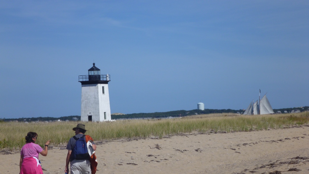
At the start on Lecount Hollow Rd.
Peter Brannen’s Rambling Through Time is one of those attempts to make the universe comprehensible, which is fun to try but ultimately fails for me. It’s just too big for my brain.
Brannen uses geologist Robert Hazen’s model for a walk, in which each step represents a century back in time. Starting on NY’s Upper West Side, he can’t even get out of the building (the Hayden Planetarium) before he’s passed all of human history. So much for those who think 10,000 BC to the present is a long time! The walk continues at this pace to the Pacific Ocean, but still doesn’t reach the early Cambrian period, when multicellular life as we know it began. And doing that would still represent only 10% of the earth’s history.
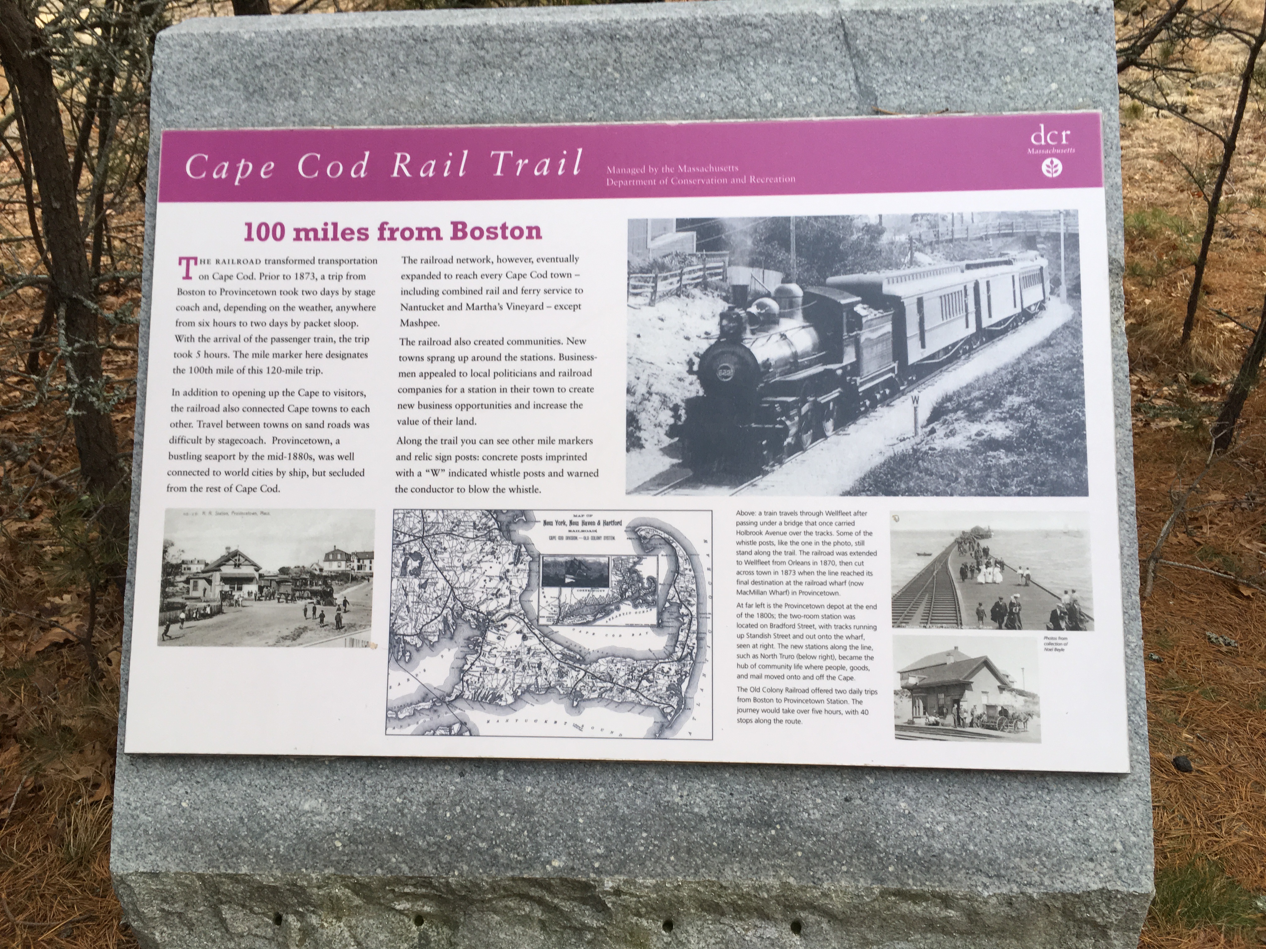
The old railbed, 100 miles from Boston
For our annual Imbolc walk (a few days late, on Feb 6), Daniel and I decided to pick up the pace. At Hazen’s speed we’d reach the appearance of grass by the end of the Cape Cod Rail Trail, but would not see the first large mammals, much less the dinosaurs, or anything else of interest. To get reptiles, fish, insects, trilobites, and so on, we need to go much faster. See [trail map].
The extended trail runs 25.7 miles, so we used that distance as the benchmark. We increased the pace by 100 times. That means that each step is a century of centuries (10,000 years) and each mile is 21 million years.
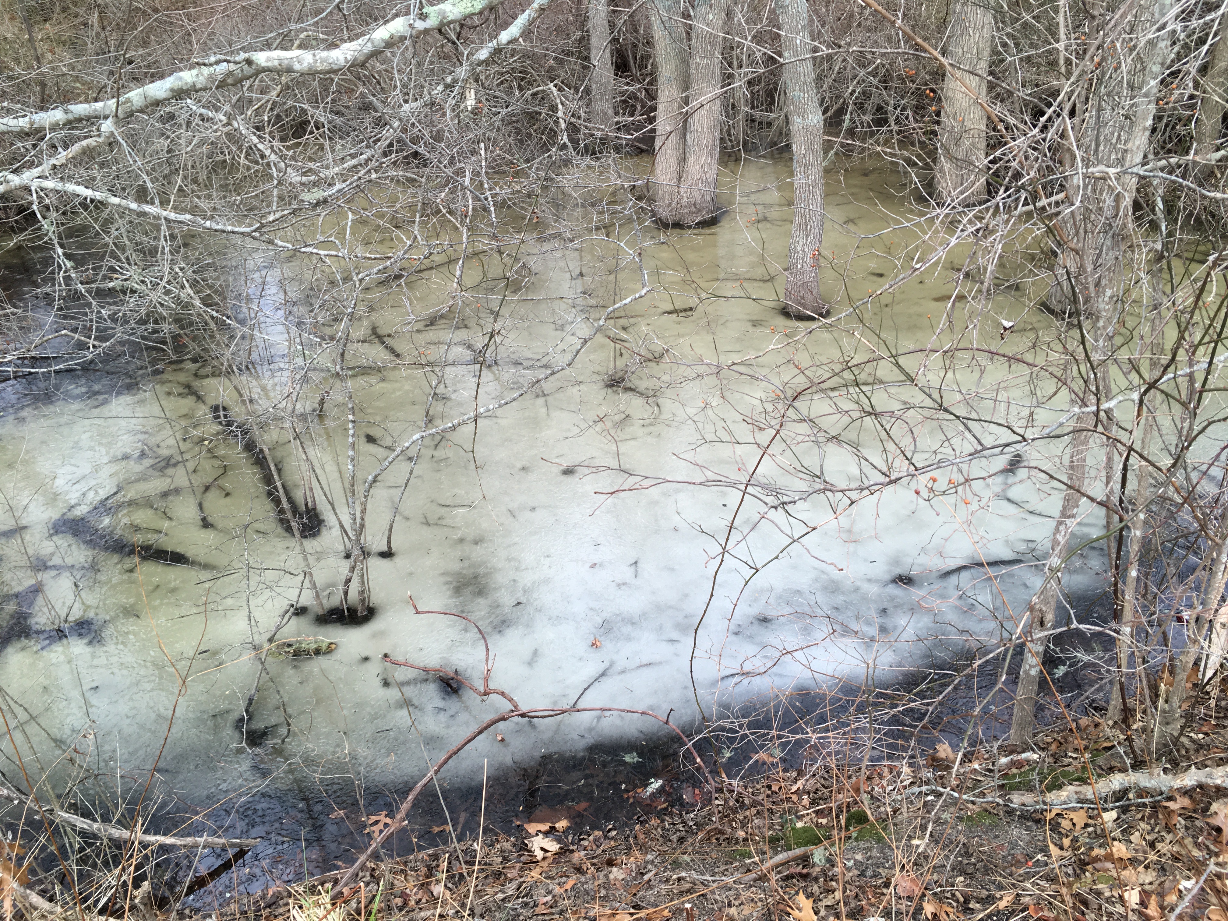
Frozen ephemeral pool
We’d need 50,000 steps to reach the early Cambrian. Maybe 60,000, or more if our stride flags near the end. But at this pace it would take just one step to cover all of human history (the wheel, agriculture, writing, pyramids, Buddhism, geology, the Beatles, etc.). The first humans show up at 1/4 mile, about 4 minutes into our 7 hour walk.

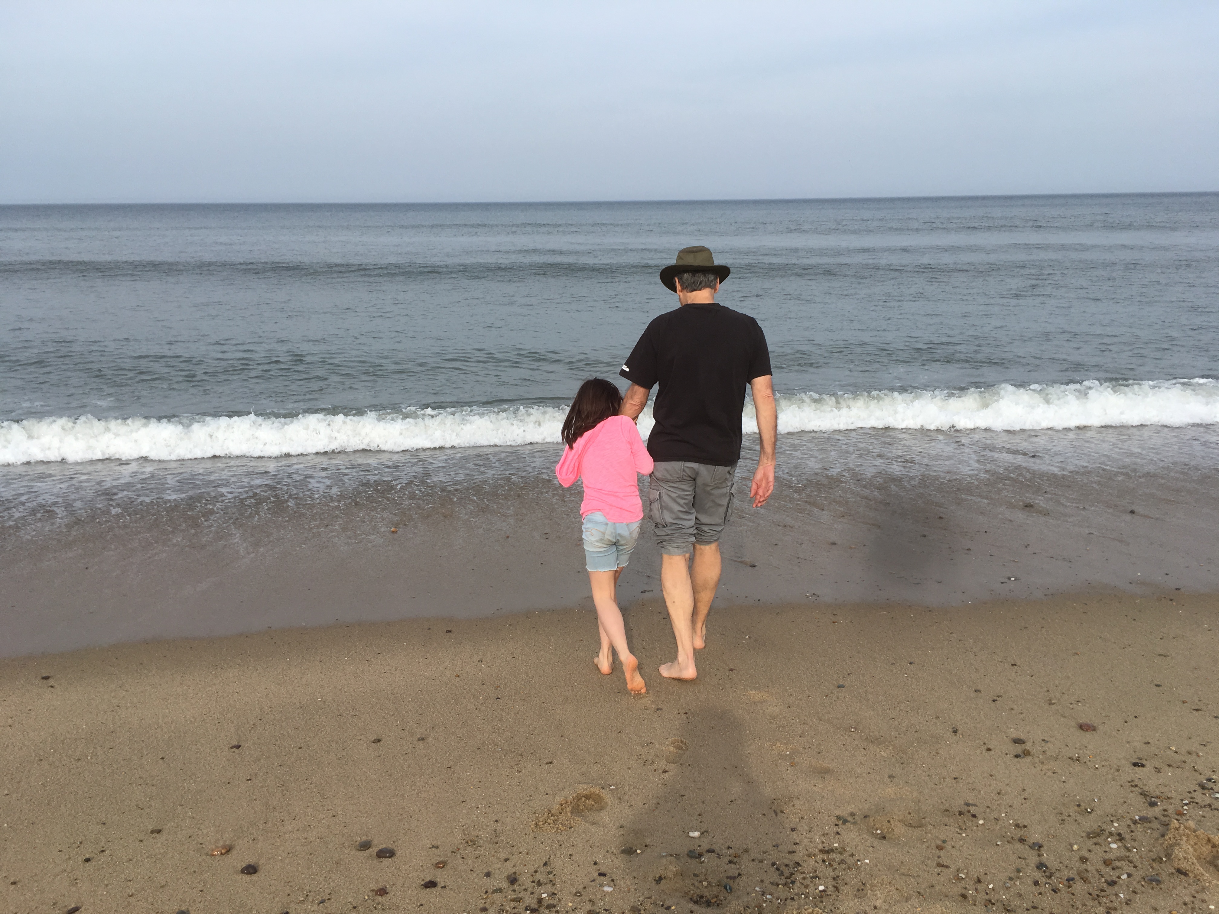
A view along the trail
Starting the walk at LeCount Hollow Rd, 3 miles gets us to the Eastham border, which matches the KT extinction that wiped out most of the dinosaurs who didn’t have feathers or know how to fly. Somewhere in Orleans, Pangaea split up. It had formed 7 miles earlier in Harwich, before the great Permian extinction. Seymour Pond in Brewster/Harwich takes us to the first large reptiles and sharks. The South Dennis trailhead on Rt 134 gets us to the first vertebrates. At the new start of the trail in Yarmouth we see the first multicellular life of the types we know today. (There are earlier multicellular skeletons in our closet.)

Beautiful lichen
If we had the time, Stamford, CT would take us back to the beginning of the earth. I suppose that we could adjust the pace so that the endpoint would be the Hayden Planetarium, but the arithmetic for that hurts my head.
- We started the walk this year a little after 7 on the morning of Tuesday, February 6 and finished 6.5 hours later. Our pace was around 3.5 mph. This was to the South Dennis trailhead at the start of the Silurian period
Now we need to think about attempting the extended trail next year!
-
-
- 21 mya: Quartenary (1.6 mya), humans [Seashore HQ, Marconi area]
- 42 mya: Grande Coupure, Mongolian Remodeling [Fresh Brook]
- 63 mya: Tertiary (65 mya), large mammals, angiosperms, grass [Eastham border]
- 84 mya: late dinosaurs [Brackett Rd]
- 105 mya: similar to today, except with dinosaurs instead of people [Minister Pond, before Rt 6 crossing]
- 126 mya: [Samoset Rd, near Salt Pond]
- 147 mya: Cretaceous (144 mya), flowering plants [Gov. Prence Rd]
- 168 mya: [Orleans Rotary]
- 189 mya: Pangaea splits up [Orleans Center]
- 210 mya: Jurassic (208 mya), birds, dinosaurs are dominant, conifers [Namskaket Creek]
- 231 mya: [before Nickerson State Park, ℗]
- 252 mya: Triassic (245 mya), reptiles dominant, mammals, cycads [Linnell Rd]
- 273 mya:
- 294 mya: Permian (286 mya) [Long Pond Rd, Rt 137, ℗]
- 315 mya: [Sheep Pond]
- 336 mya: Pangaea forms [Seymour Pond, Black’s Pond]
- 357 mya: Carboniferous (360 mya), tree ferns, gymnosperms, large cartilaginous fish, reptiles [Hinckley’s Pond, ℗]
- 378 mya: [Katie’s Pond, after Rt 6]
- 399 mya: [Great Western Rd, after Bike Rotary]
- 420 mya: Devonian (408 mya), amphibians, land animals [Sand Pond, West Reservoir][/caption]
- 441 mya: insects, jawed fish, land plants
- 462 mya: Silurian (438 mya), terrestrial plants [South Dennis Trailhead, ℗]
- 483 mya:
- 504 mya:
- 525 mya: Ordovician (505 mya), vertebrates, algae flourish, bivalves
- 536 mya: Cambrian explosion (541 mya); first multicellular modern phyla, trilobites, fungi [Yarmouth trailhead, ℗]
- In the times of the old ones: Ediacaran life forms, green algae, cyanobacteria, bacteria, eukaryotes (2-3 bya), amino acids
-


 Along the way, I met a man who had been a mountain guide. He was walking with his 15 yo son. He gave me some good tips for hill walking. I talked with the military guards (the park is adjacent to a military camp), a couple of groups of schoolchildren, some “+2” students, and people at NagiGumba hanging prayer flags.