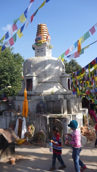
Section hiking the Appalachian Trail

Section hiking the Appalachian Trail means doing a segment at a time, whenever it’s convenient. It’s not as glamorous as a thru-hike, but it’s still a great way to experience the “footpath for the people.”

Unfortunately, my cancer recovery segments are very short. I may need 21,800 segments to complete the 2,180 miles. That’s going to take a while.

But I’ve accomplished a few already. The photo above was taken two days ago near Great Barrington, MA. The one below is near Becket, MA in January.

Deurali danda (hilltop)

Early morning bus ride to the SW hills

Early morning bus ride to the SW hills

A word to the wise:

If you’re in Nepal, and you get invited to join a group of 15 year-olds from Nisarga Batika School for their six-hour spring walk, ask a few questions ahead of time:

  • What kind of “walk” are we talking about?
  • Is a spring walk what we Americans call impossible mountain climbing?
  • Is this just a warmup for their upcoming seven-day trek in Pokhara?
  • Does your trip leader, Sudeep, happen to be a triathlete?
  • Did he recently come in third in the Pokhara triathlon sprint?
  • Are you older than 15?

On the way up

On the way up

Despite my lack of forethought, I not only survived the trek, but had a great time. We climbed Deurali danda, which I thought from a map lookup was far west of Kathmandu. Apparently, though, it just means hilltop, of which there are many in Nepal, even in the Kathmandu Valley. The summit is near Chandragiri Hill, where there is now a modern cable car for tourists.

A welcome rest stop

A welcome rest stop

Our ascent was gradual at first, but soon we heard some alarming advice from our trek leader: “It now becomes a single track, steep, and slippery from the rain. Watch your step. Stay in groups of four to watch for slips.”

Also, “Be alert for wild animals. We saw leopards on the last two treks. Clap your hands and yell when you see one.”

At the top

At the top

There were no leopards as far as I could see. Our mishaps turned out to be minor. There were many screams when one student picked up a leech. One had minor cuts and a sore wrist from a fall. Another sprained an ankle, reinjuring some previous damage from sports.

I broke the ice, or rather the leaf litter, when my foot sank through a deep hole. No damage except to my pride. That recovered a bit when I saw one after another of the others have minor slips.

Abandoned cable car, for industrial use

Abandoned cable car, for industrial use

The students were all in better shape than I was at their age, but a few appeared to have had a bit too much screen time, for which I was grateful. There were frequent calls for rest breaks.

Lunchtime

Lunchtime

A hilltop resident, turning 6 today

A hilltop resident, turning 6 today

An old stupa? Even my hosts weren't sure

An old stupa? Even my hosts weren’t sure

Fiddleheads, a favorite food treat in both US and Nepal

Fiddleheads, a favorite food treat in both US and Nepal

Beautiful fern cacscades

Beautiful fern cacscades

Golden trumpet trees

Golden trumpet trees

Celebrating near the end

Celebrating near the end

Some guys don't even recognize it's a trek

Some guys don’t even recognize it’s a trek

Not a lonely park

p1090537

NagiGumba

The map/brochure for Shivapuri Nagarjun National Park describes it as

a lonely park to represent mid-hill ecosystem of Nepal. It is famous for globally threatened wildlife, birds, and butterflies.

I suspect a misprint, and that the text should read “a lovely park…”, which it certainly is.

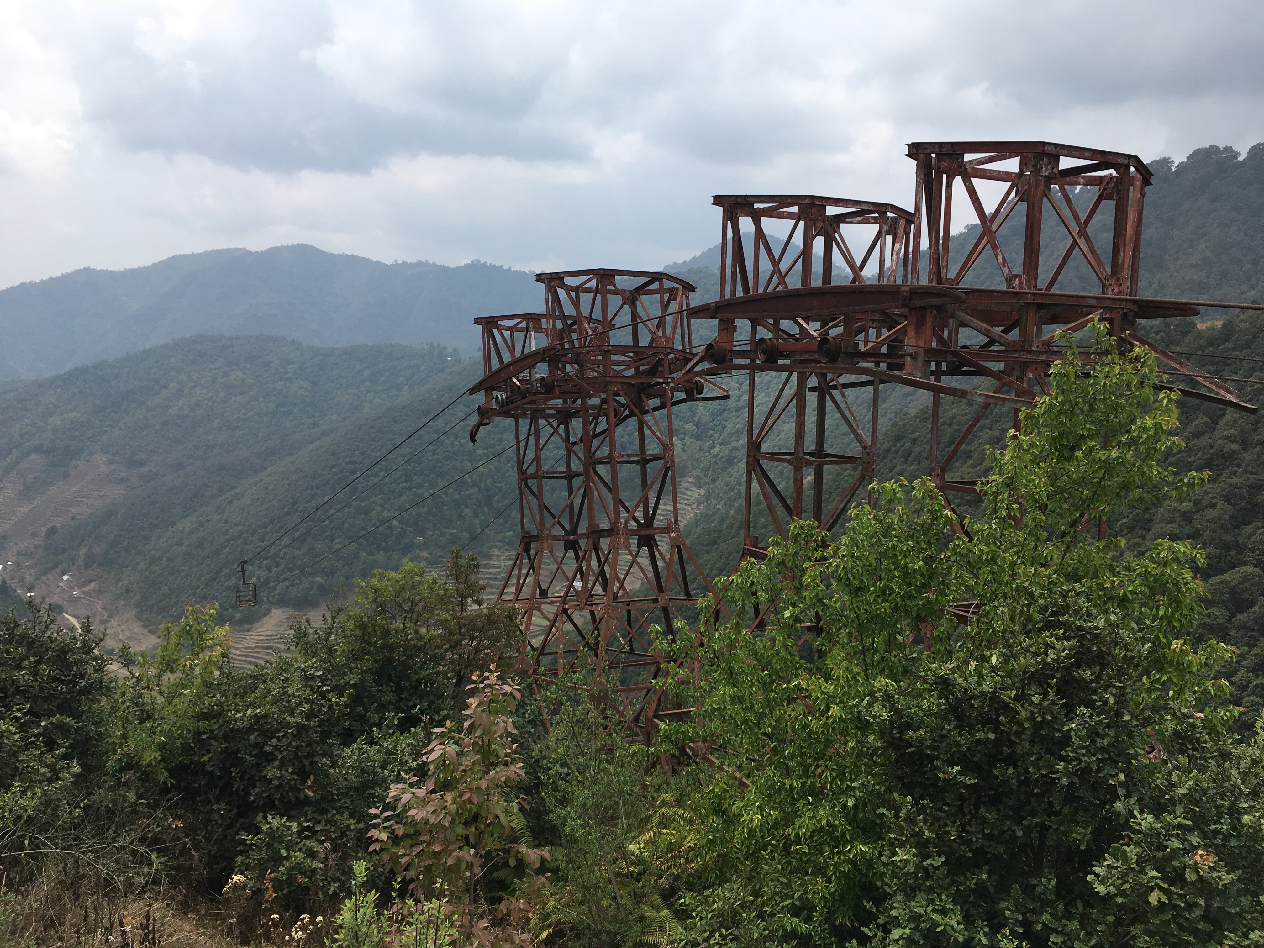
There may well be lonely parts, since the park covers 159 sq km (61 sq mi), and most visitors follow one of the popular routes as I did yesterday in the Nagarjun portion of the park. What i’d say instead is that it offers a perfect blend of solitude and connection with nature interspersed with chances to interact with nice people.

(I can’t say whether people who go on these mini-treks are nicer to begin with, or just become so when they’re away from the stresses of city life, but either way they’re fun to visit with.)

Arjun and Vibatshu

Arjun and Bibatshu

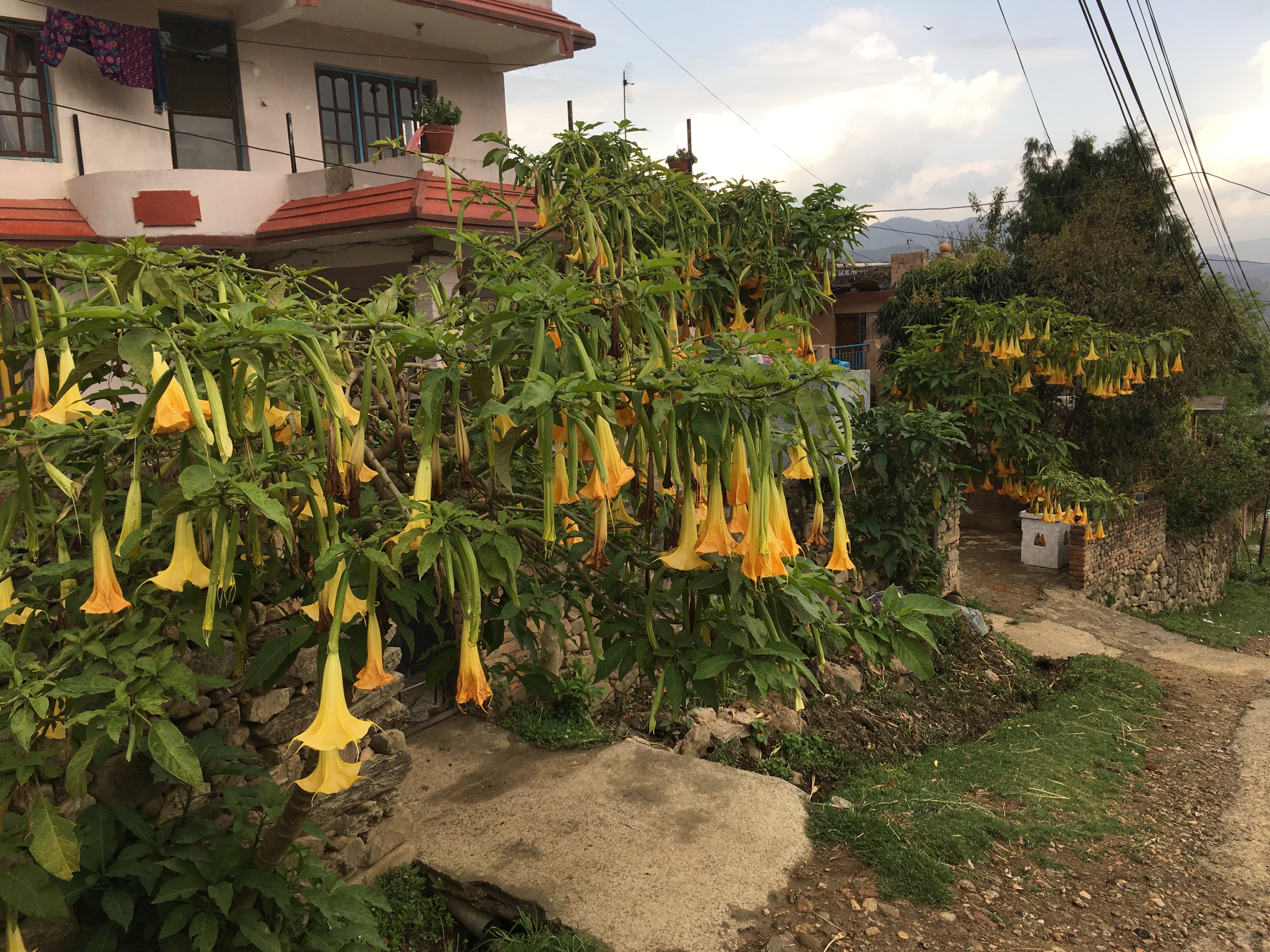
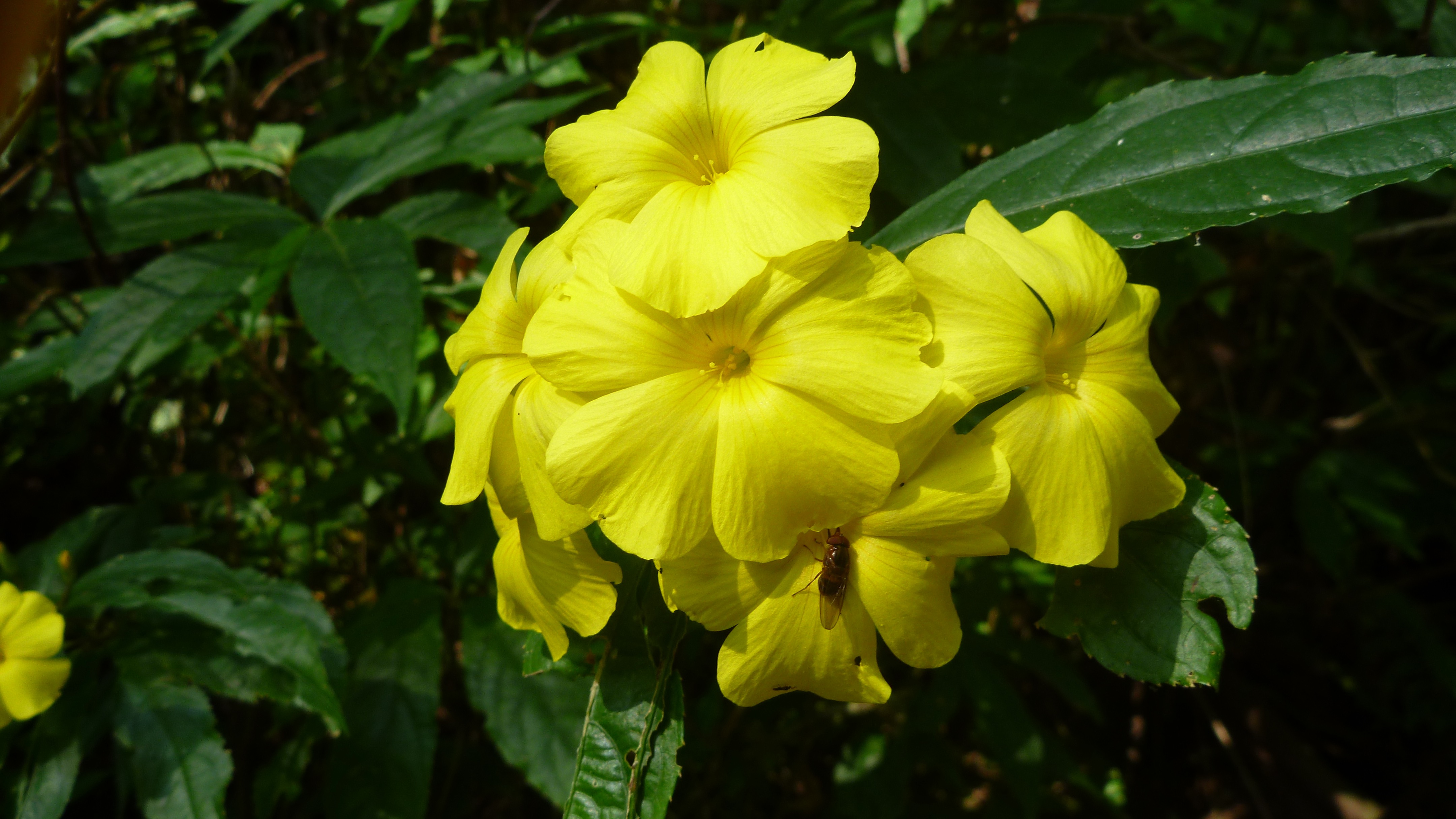
Although I did see several people, especially at NagiGumba (Buddhist monastery), I was disappointed not to see any leopards, bears, thars, boars, deer, or monkeys, which reside there. I did see many birds and butterflies, mushrooms, and all sorts of subtropical  plant life. I even saw the Asian bittersweet that is so well loved on Cape Cod.

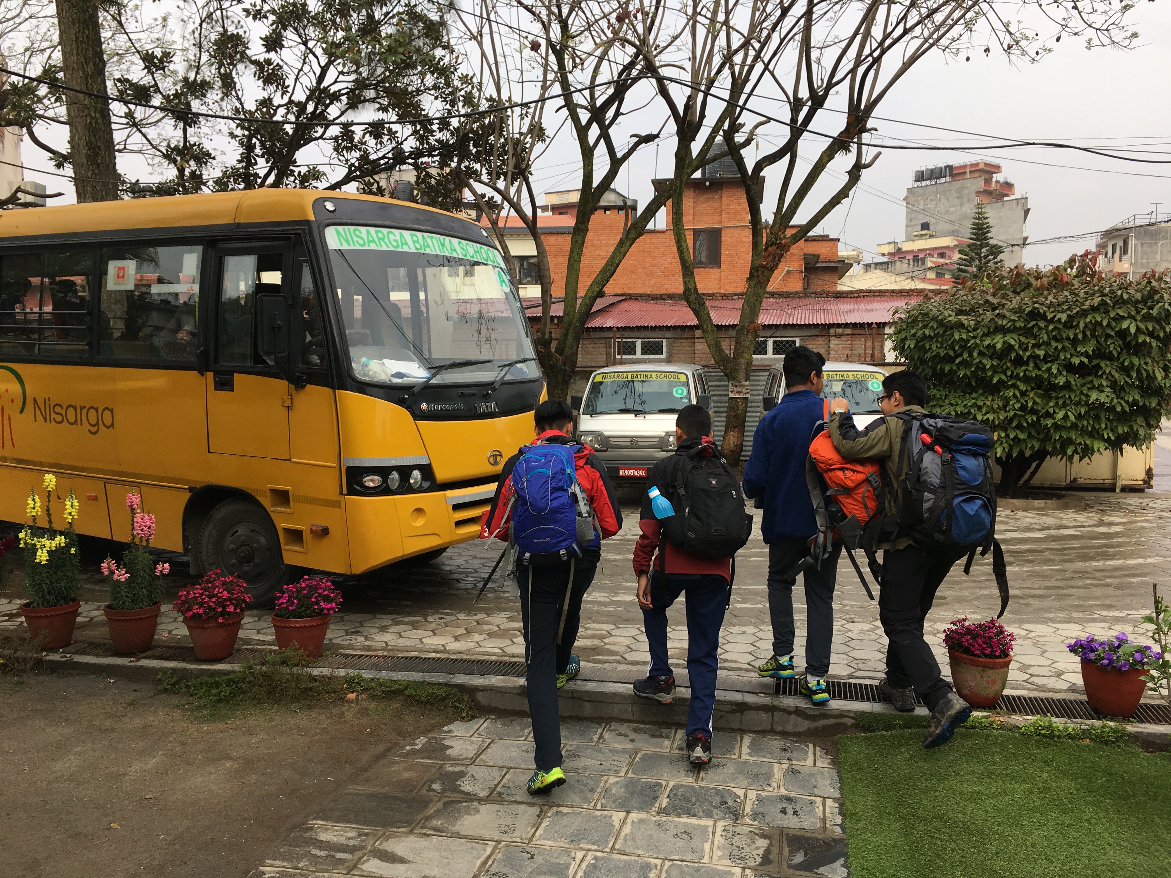
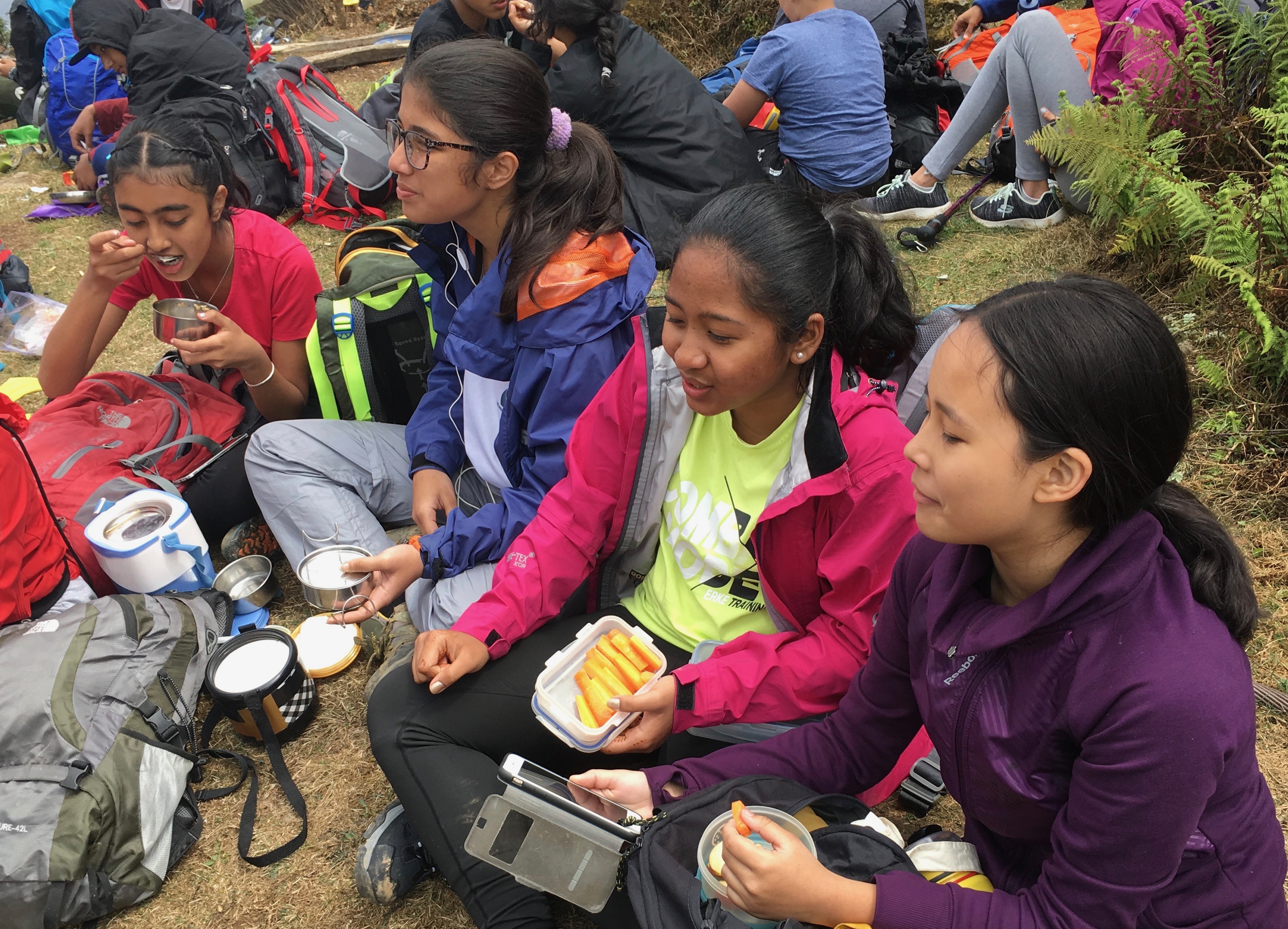
The walk up to NagiGumba is done by people of all ages, school groups, couples, and pilgrims. It’s an easy to follow trail, with steps for all the steep portions. Nevertheless, by the end of the day my knees were rubbery, my shirt was soaking wet. and I had resolved to get myself in better shape.

It was some consolation that my fitness tracker registered well over 200 floors (~3000 steps). The steps were good ones, too, with treads and risers that matched my legs. I wonder how some of the smaller children could manage it.

p1090535Along the way, I met a man who had been a mountain guide. He was walking with his 15 yo son. He gave me some good tips for hill walking. I talked with the military guards (the park is adjacent to a military camp), a couple of groups of schoolchildren, some “+2” students, and people at NagiGumba hanging prayer flags.

When I arrived at the top, I learned that there was some kind of ceremony about snakes (which I also failed to see on the trail). A monk served me slices of apples, oranges, and some pear-like fruit, which were hugely welcome after the climb.

Shivapuri Park is new (2002) and the Nagarjun portion was added just in 2009. It makes me happy to know that Nepal is able to establish these parks making possible mini-trekking in the urban area and preserving biodiversity.

This slideshow requires JavaScript.

oa

Shivapuri Nagarjun National Park

p1090435
I had a wonderful walk in Shivapuri Nagarjun National Park today, seeing both more and less than I’d planned.

My first mistake was going by taxi without clear directions for a non-English speaking driver. Rather than arriving at the Parimuhan entrance, we somehow ended up somewhat west at Tokha. There were a couple of good effects of this. One was that I got a good view of the army camp sprawled over that area. The other was that by starting there I had the trail to myself, since most people sensibly enter through the main gate,

p1090448The day and the trail were beautiful, I took a side trip up to the Banduspati River. There were over 200 constructed steps and a lot of unconsturcted uphill. But it was well worth it to see the cascades and sylvan setting.

One part of the trail greeted me with mica sparkling in the midday sun. I was once again reminded about how much more one can see by going slowly.

p1090458I saw a profusion of wildflowers, butterflies, dragonflies, birds, and more. Since I was alone and had neither guide nor guidebook, I had the luxury of naming each thing myself. For example, I saw many versions of small-brown-butterfly-that-never-alights-long-enough-for-me-to-take-a-photo. That’s now its technical name.

p1090429I did see a few people-some mountain bikers, some women cutting fodder, a couple of guys working on the trail.

At the base of the trail to Shivapuri Peak, I met a group of students and faculty from St. Lawrence College. They invited me join them on the walk up.

The climb totally destroyed my conceit about being able to keep up with young ones on a climb. Several times I had to pause, and eventually I decided to let them go on because I was holding them back. Could it be that Nepali youth are healthier than those in the US?

In the end, I walked back down to Budhanilakantha and got a ride back to the area of my apartment. Yes, a bit tired, but it was a beautiful day, and wonderful resource so close to the capital city.

This slideshow requires JavaScript.

East Coast adventure

After the bustle of Taipei, Taiwan, it’s refreshing to explore the East Coast of Taiwan.

Coastal rock formations, gorges, waterfalls, mountains, and other natural wonders are interlaced with signs of still vibrant indigenous cultures. I saw Formosan rock macaques, boars, and countless birds and butterflies in the wild.

This slideshow requires JavaScript.

Moveable feasting

You can’t count on a 4 mph pace on the trails of Newfoundland, even if you can walk faster than that on flat ground. Even 3 mph or 2 mph is hard to manage. In fact, you stop thinking about the pace.

The problem is not the terrain per se. I’m convinced that it involves more walking uphill than down. There are also uneven rocks, loose gravel, bogs, overgrown vegetation, fallen trees and other obstacles. And the occasional bugs and thorns. But you can get used to all of that.

A much bigger problem is the amazing views, even on the most ordinary trails. I’ve learned not to be captive of the camera, but it’s hard not to stop to look at waves crashing against a sea dungeon, to study 560 million year old Ediacaran fossils at Port Union, or to be captivated by abnormally cute puffins on the island off of Elliston Point. Those sights and more are within a 45 min. drive from our house.

But there is a bigger problem still: The trails are edible. It’s hard to keep up the pace when lunch beckons at every turn.

On a short walk yesterday, we saw ripe bakeapples (cloudberries), low-bush blueberries, and raspberries. There were chuckly-pears or chuckle-berries (amelanchier) and dogberries on the small trees, ready to eat. Nearby were partridge berries and cranberries. We’ve also sampled strawberries, juniper berries, bearberries, bunchberries, and many I can’t identify.

These delicacies were right next to the trail, far more than enough for the sparse walkers. When I’d look off the trail, I sometimes saw masses of berries enough for pies and muffins and pancakes, for jams, for adding to cereal, and for munching to keep my energy up.

There are many other edible berries. In addition to the berries on ground cover-type plants, there are fruits, some called berries, on bushes and trees. There are also numerous edible plants and mushrooms.

Click on any image below to see larger, slideshow format.

Skerwink Trail

Sea stacks

Sea stacks

We just walked the beautiful Skerwink Trail, which is reachable by a short path from our house rental. The trail loops around Skerwink Head, a rocky peninsula between Port Rexton and Trinity East, Newfoundland.

The peninsula is mainly sedimentary rock, especially sandstone. It’s been shaped into fantastic cliffs, sea stacks, arches, and beaches by the Atlantic storms and freeze/thaw cycles.

Along the walk we saw whales and seabirds, wildflowers, mushrooms, edible wild berries, and a variety of habitats, including determined plants on steep cliffs, mixed forest, craggy meadows, tuckamore, bog, freshwater pond, birch tree clusters, and gravel beach.

The early day was foggy and drizzly, but by late afternoon the sun was shining. A gentle breeze turned into a stronger wind than I liked in the exposed areas.

The trail is considered moderate–difficult. Numerous steps, boardwalks, and rails are what makes it moderate. There is also good signage, including several “Caution” or “Danger: Unstable cliffs.” As an accomplished acrophobe, the recommendation for caution was unnecessary for me. I could easily see the danger, and instead wished for a “Turn back now!” sign.

We celebrated the end of the walk with a dinner of fresh mussels purchased from a roadside truck at Trinity Bay, where they’re farmed. Steamed in white wine and accompanied by some garlic mayonnaise, they were delicious. It didn’t hurt that the price was a little over $1 (US)/pound.

You can see some of the sights in the slides below and on the Skerwink Trail site.

This slideshow requires JavaScript.


Clints and grikes

Clints and grike

Clints and grike

We’ve walked on more interesting trails in Newfoundland than I can count, and those are a tiny fraction of the possibilities. Many are in National or Provincial Parks; some are on private land or Crown Land. Since 95% of Newfoundland and Labrador is provincial Crown Land, there’s a lot to explore.

Some of the trails have been developed by small towns, including outport communities. For example, Flower’s Cove on the Great Northern Peninsula has the White Rocks Walking Trail. This wanders across a limestone barrens, where I learned firsthand about clints and grikes.

Limestone barrens

Limestone barrens

Limestone barrens are odd, unforested areas with what appear as large, limestone paving stones, mortared with mosses, small conifers, wildflowers, and other flora. These are unique ecosystems with extremes hot and cold, plus cycles of drought and flooding and frost. They represent less than 1% of the total area of the island, but host 10% of the rare plants.

The limestone pavement of the barrens is a type of karst landform. These formations have blocks, called clints, separated by deep vertical fissures known as grikes. Karst is derived from the Slovenian word kras, meaning a bleak, waterless place.

Solied pants

Solied pants

From experience, I strongly advise you to be careful, stepping only on the clints. This advice is not always easy to follow, since plants grow up through the grikes and often spill over onto the clints. Thus it’s possible to step on what seems to be a thin layer of green on the clint and find your foot going deep into a grike.

This happened to me near the end of a walk. My left foot sank down nearly up to the knee. I the fell forward hitting both knees on the clint. I was just lucky that I hadn’t caught the foot more, or I might have had a twisted ankle or even a broken foot, possibly one wedged into the grike. Since I was walking alone at the time, I might have come to understand truly what Slovenians mean by kras.

Instead, I suffered no worse than embarrassment and soiled pants.

Blow Me Down

Towards Lark Harbour

Towards Lark Harbour

Trail through forest

Trail through forest

Trail through open area

Trail through open area

When, in the middle of August, you need to light up the wood stove to warm your feet, there’s snow at 2000 feet, and an iceberg floats by your cabin window, you know that you’re in an unusual place.

A close encounter with a caribou on a hiking trail, meeting a traditional carver of stone and bone, and eating cod caught a few hours earlier by the restaurant owner’s two young sons add to the pleasant surprises. But the most remarkable thing about Newfoundland are the stories.

Serpentinite

Serpentinite

Every local we meet seems to have a trove of stories, freely mixing what some Viking did a thousand years ago with what they ate for breakfast. And every place, remarkable though it may be on its own terms, comes packaged with intertwined history, myths, and legends,

Beyond the island in front of our lodging in York Harbour was the Blow Me Down Mountain (650 m). Its name comes from the story in which Captain Messervey in 1771 anchored his boat below the range and said “I hope they don’t blow me down!” To this day it’s famous for its powerful winds that blow in every direction at once. It’s also known as an amphitheater that amplifies the sound of thunder. I heard stories of walkers fleeing in terror when Thor seemed to go on a rampage.

Blow Me Down mountain

Blow Me Down mountain

Stairway in a cave

Stairway in a cave

There have been at least 17 communities that share the odd name of Blow Me Down, not to mention mountains, mountain ranges, parks, and other geographical objects.

We took a walk through Blow Me Down Provincial Park nearby, which generated some personal stories to add to the corpus. The trail was beautiful, but a bit of a workout, because of the mud and running water from a recent storm. My activity tracker thought it was more than 100 floors up.

Newfoundland diary: Bottle Cove

York Harbour

York Harbour

I had intended to write a Newfoundland diary, but the onslaught of beautiful rocky coasts, wildflowers and butterflies, fragrant forests of balsam fir, moose and caribou, seabirds, icebergs, quaint fishing villages, lighthouses, Paleoeskimo archeology, world renowned geological sites, challenging hikes with gorgeous views, tundra, friendly people, widely divergent regional dialects, and more has distracted me.

This is beginning to look more like a five-day report, maybe a quinquery? Even now, I feel that I’m just highlighting a few of many rich experiences.

Bottle Cove

Bottle Cove

It wasn’t just the overload of rich experiences. The problem began on the first full day. We had arranged to stay in a cabin in York Harbour, on the central west coast, not far from Corner Brook. The cabin was on the seacoast, with a view of mountains and islands. That would have been difficulty enough.

However, the next day we ventured to Bottle Cove. It’s a fishing village with a population of just 10 people, but deservedly has its own Wikipedia entry. Two of those ten were very good friends who welcomed us with treats, including cheeses and homemade beer.

Trail's End, named by Captain Cook

Trail’s End, named by Captain Cook

The cove is aptly named, given its narrow mouth, but apparently it’s actually an Anglicization of the French bateau, from its days as a French fishing village.

The surrounding terrain is part of the Appalachian Mountains. That’s the justification for including the trails in the area in the International Appalachian Trail system.

We had a beautiful walk to the headland named Trail’s End by Captain Cook, when he first explored the area. The trails are suffused with wildflowers, beautiful mushrooms, and interesting rock formations.

The rocks are mostly ophiolites, meaning they came from the oceanic crust and the upper mantle of ancient seas.  They were uplifted and exposed above sea level, often on top of shale and other continental crustal rocks. A prevalent and striking example are the green serpentinites. We saw them in walks around Bottle Cove and also at the nearby Cedar Cove, another beautiful, but quite different formation.

View from the headland

View from the headland

After a day in the Bottle Cove area I was in a mixed state, exhilarated from the beauty and good experiences, but depressed by the thought that everything to come would be a let-down.